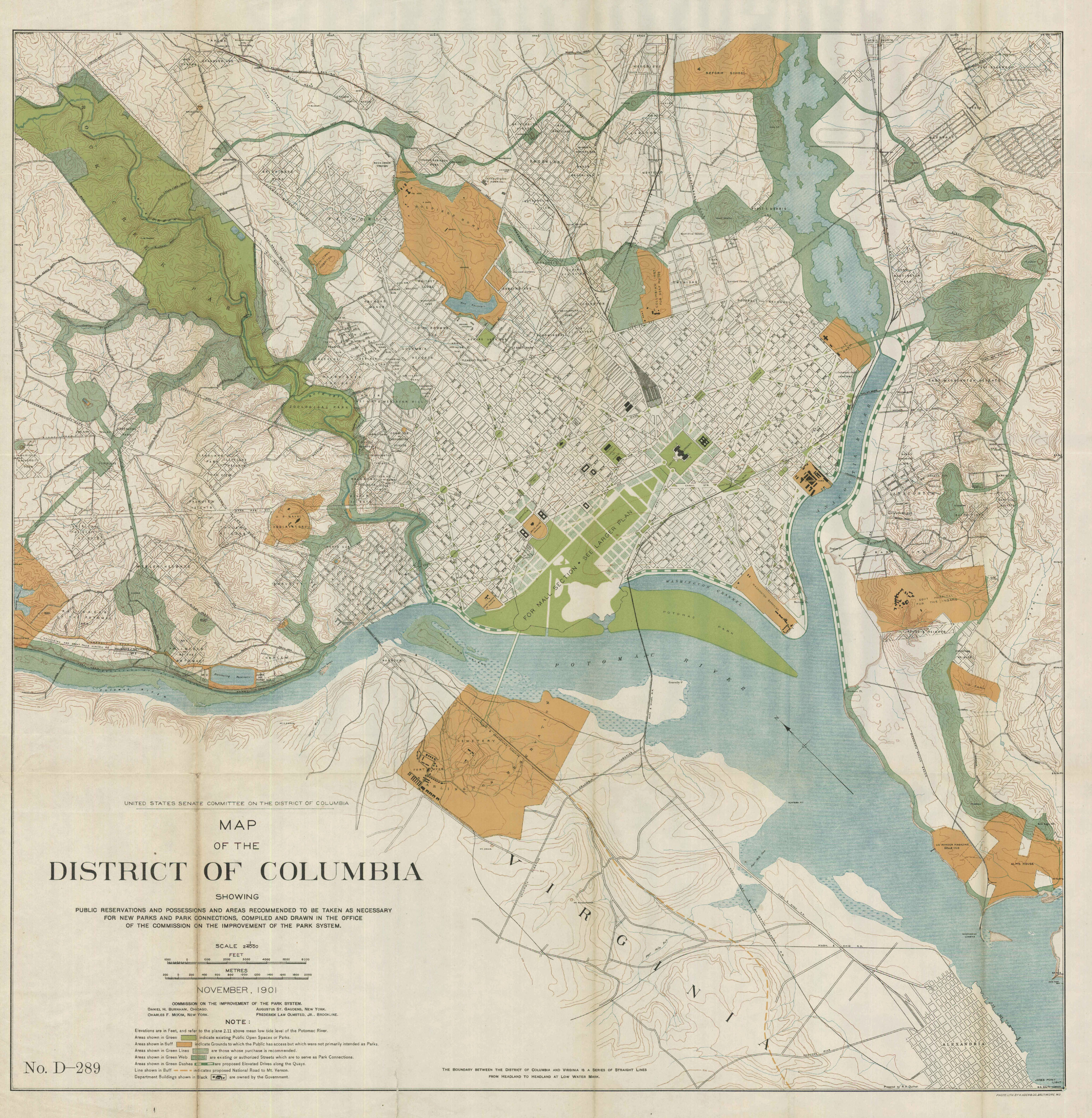
I found the 1910 Parks Commission Plan earlier. Now I’ve been able to find a higher resolution version of the plan, albeit a little different. This one is from the original, famous McMillan Commission report. Click the images to see the whole city.
This is the first time a park at Fort Reno was proposed. Here, it’s imagined as a much bigger circular park centered around the now obliterated, high point of DC. The Black-populated town at Fort Reno was still pretty small; the streetcar had only arrived a few years before. Similarly, you can see that the Chevy Chase Land Company had only begun to make forays into the District.
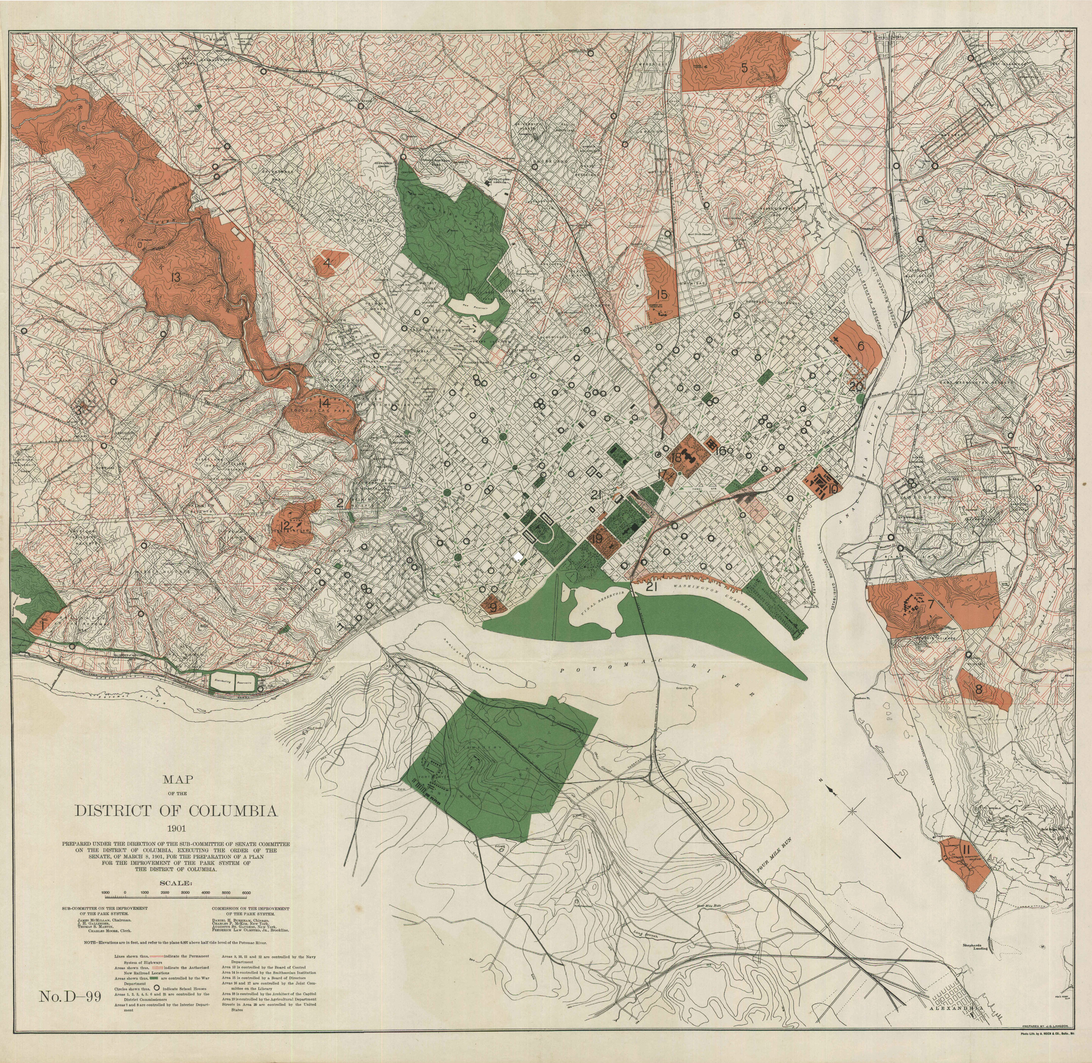
The Nebraska Ave and Yuma street parkways are visible. You can see how large they wanted Soapstone Valley park to be, extending up to 38th Street. They also wanted to acquire the slopes of Broad Branch Valley. That would have linked up with Fort Reno, as part of the first iteration of Fort Drive. Below is a map showing the rights-of-way for the 1897 Permanent Highway Plan and existing roads.
Is there anything else you see?
After the break, a GIF, a GIF, a GIF, I say, a comparative GIF!