Paul Rudolph, master of a beguilingly baroque brutalism, had a few ideas to fix up what he thought was DC’s unrelenting dullness. Riffing off of President Kennedy’s dismay at Pennsylvania Avenue, the fervor for urban renewal, and a widespread disdain for the newest batch of public buildings, Architecture Forum magazine dedicated its entire January 1963 issue to the problem of Washington. It’s a neat time capsule.
Anyway, you, me, and your mother all have ideas to fix up this city, and thankfully nobody asks us. So why did Rudolph get to publish what are basically a few sketches and a rant? Well, he was killing it in 1963. He was published widely, the Yale Art and Architecture Building was nearing completion, he’d just secured the Boston Government Services Center, and no one else seemed to have a way out of Modernism’s increasing malaise.
So, what he proposed was a way of shaping cities straight out of the book The American Vitruvius: An Architect’s Handbook of Civic Art, which was a strong influence on city planning in the 1920s, and eventually New Urbanism. That book and Rudolph’s show the influence of a Viennese theorist named Camillo Sitte.
Sitte thought that public areas needed to be shaped aesthetically into coherent fabric for public life. He favored curving roads that were as pleasant to the eye as hard on the brakes. He also belief that large open spaces were hostile to life, an unpopular idea when Le Corbusier’s violent reaction to Sitte dominated the profession.
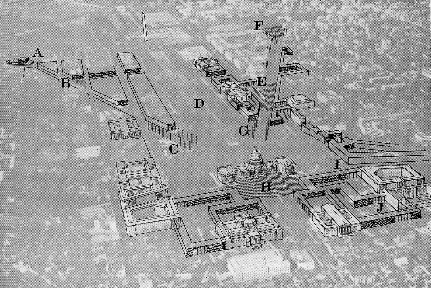
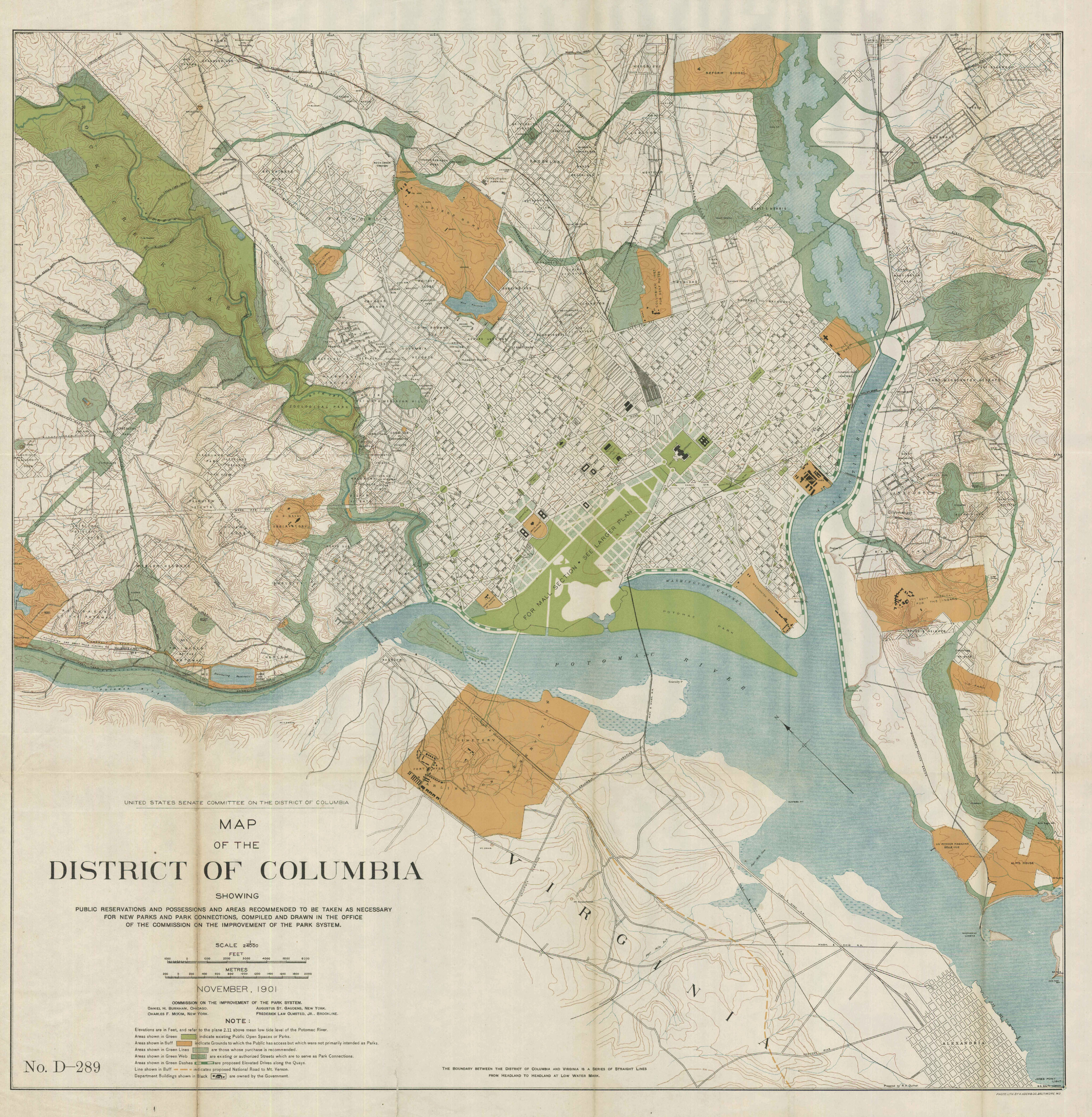
So, Rudolph is rebelling when he proposes taming the vast expanses of the McMillan Plan and the Olmsted landscapes. He even takes a moment to lash out against the Robert Taft Carillon’s expansive space, a which must have been deliberate diss to its designer, the then-Commission of Fine Arts vice chair Douglas Orr.
Rudolph’s design surrounds the tower with another building, to plug the grassy areas near Union Station, which he thought was particularly vacant. He proposed two columnar entries on Maryland and Pennsylvania Avenues as memorials to Madison and FDR. Elsewhere bar buildings span roadways to divvy up the leftover spaces into public rooms.
Yes, he wanted to block some viewsheds, but he also wanted to restore the proportions of L’Enfant’s vision for the east plaza. Like anyone trying to make big moves in DC, Paul Rudolph swore that it was his design, and no other that would realize L’Enfant’s vision.
Rudolph’s full article after the break.
