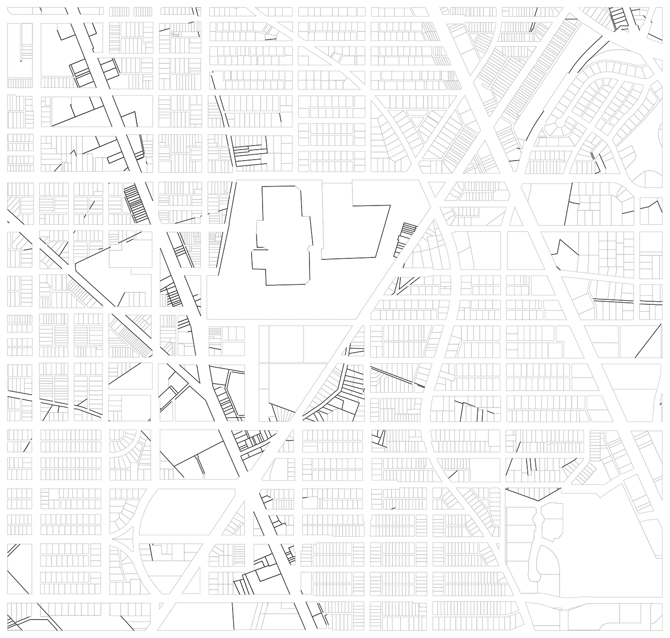
So I’ve been doing a lot of thinking about Tenleytown’s history. What can it do for us? What are the traces of the past buried in our daily lives? How have we adapted our environment? How can we continue to do so, in a more profound way. Let’s look at the traces of the pre-industrial past within the Fort Reno study area.
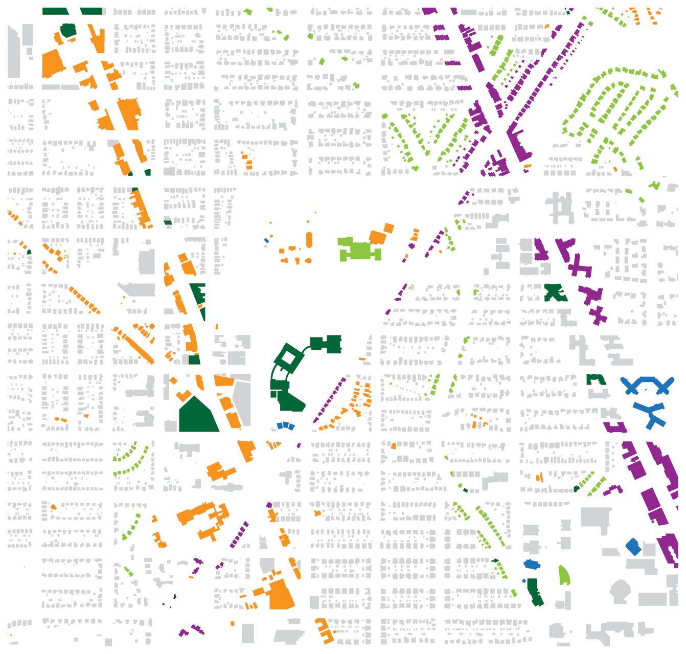
It shows the orientation of each building. Gray is for the cardinal grid. Purple buildings face the avenues, while light green ones face curvilinear roads. Blue ones were doing their own thing. Dark green buildings didn’t really fit in any one box. Orange buildings face roads we know to be historical.
Yeah, I know what you’re saying. We’ve all been here. But, and you don’t have to look at it, let me break this down.
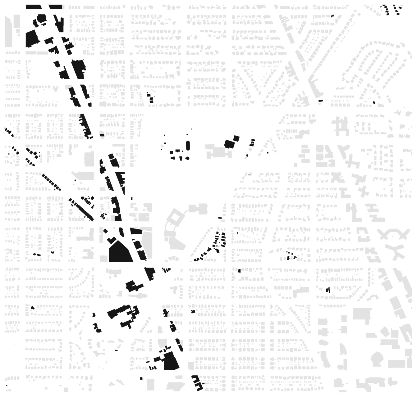
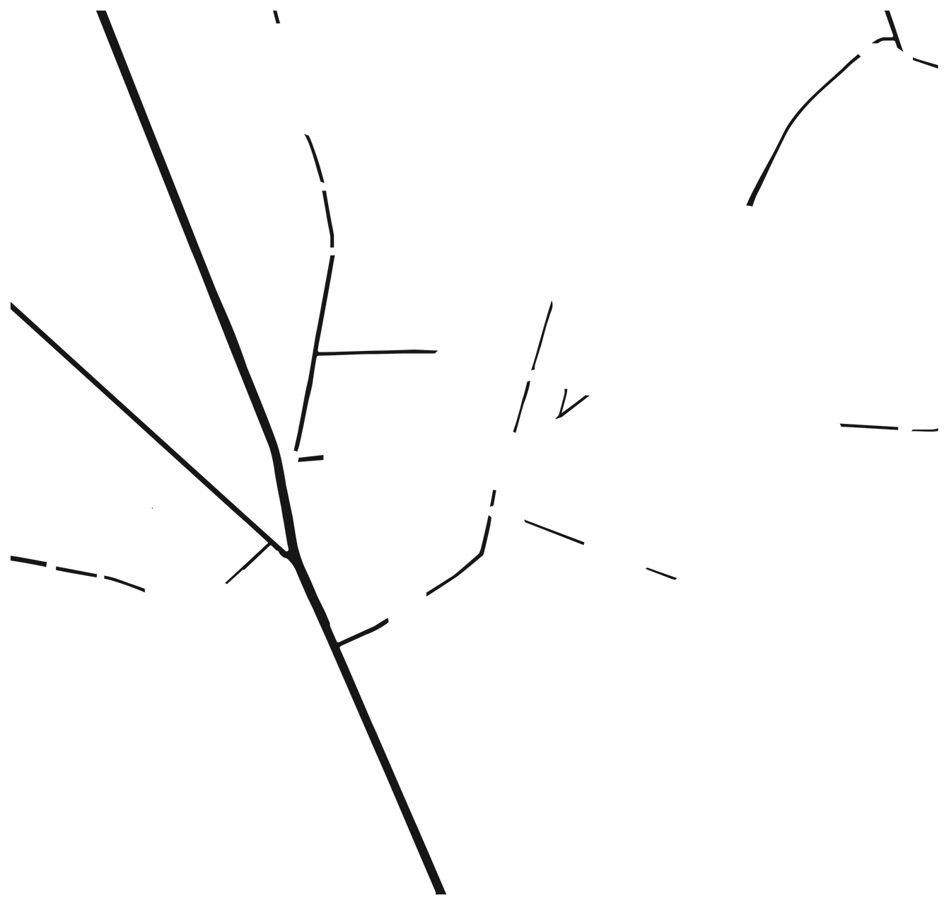
If we take the buildings that pick up historical orientation and focus on that, you get clear patterns around Wisconsin, River Road, and Grant Road. These are not all pre-urban buildings, they just reference pre-urban routes. We can actually get rid of all of the faces that aren’t traces. That might be more interesting.
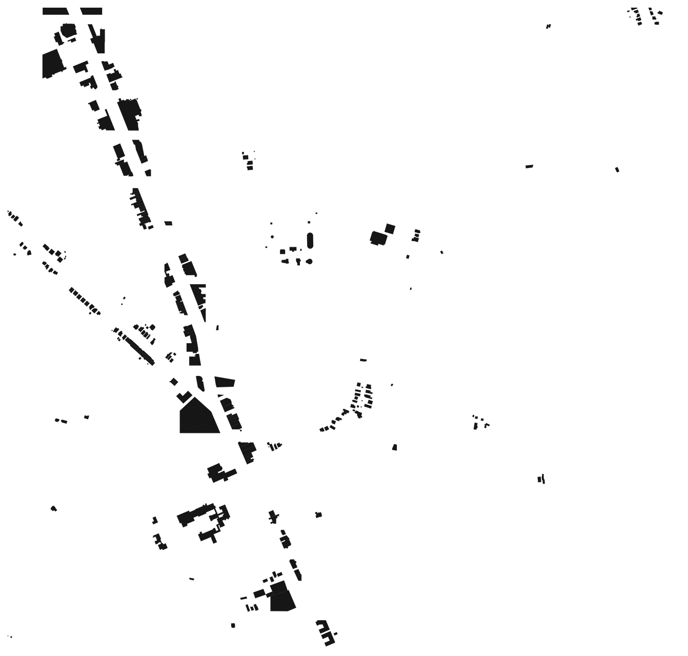

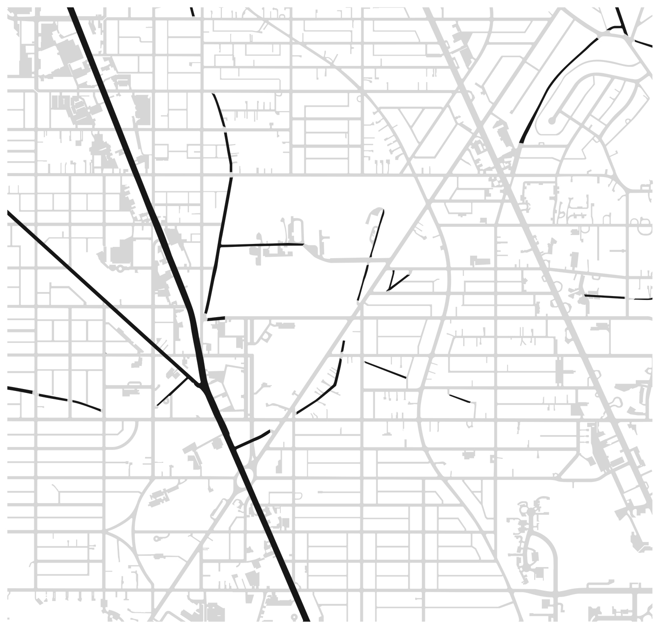
That’s maybe not as clear as we wanted. What’s going on over to the east of Grant Road? It’s inscrutable. Greater Tenleytown’s urbanism does not take a clear figure-ground form, like traditional european cities. What about roads? We’ve seen that the roads form a pretty defined space nowadays. Which of the roads and alleys are part of the historical parts of the city? We can break those down too.
 That’s certainly helpful, but we know a lot of these routes already. On the other hand, it’s hard to make sense of a number of the buildings further from these roads. So where might hidden artifacts of the past be hidden? Property, it turns out. Legal parceling doesn’t decay like a building, so it survives more easily. There’s all kinds of interesting counterfigures in this map:
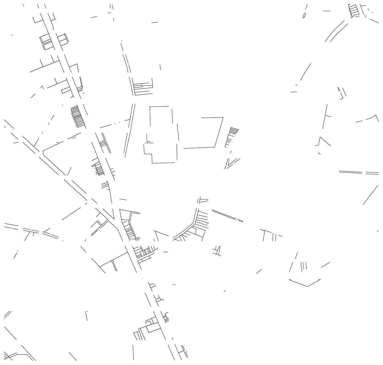 There really is a wealth of detail about the past that we don’t see physical presences of, particularly east of Grant Road. Parallels to the little alley between Brandywine and Appleton show up all over North Cleveland Park and Tobago. It’s had more of an impact than we thought.
Let’s look at all of the traces together
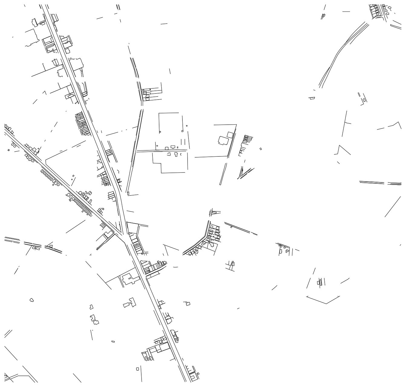
There you have it. I think this is reaching a level of resolution where you can start to see the grid as a positive space in a field of little historical cuts. I think that’s pretty cool.
Since I’m drawing out conditions that don’t mesh with known plans, this is drawing of inheritance, rather than a guide to historic structures. It’s really mostly just a formal analysis of how historical contingencies show up in the current built environment and affect our perception of place.
Reconstructing what the area looked like in the 19th century is the next step.