Reno Park Update 131228: Traces

Oh hey, I didn’t see you standing there. It’s been a while. No, no, I should have called you! Look, the past few years have been a little weird. There were a lot of martinis and I think there was orange carpet.

So I’ve been doing a lot of thinking about Tenleytown’s history. What can it do for us? What are the traces of the past buried in our daily lives? How have we adapted our environment? How can we continue to do so, in a more profound way. Let’s look at the traces of the pre-industrial past within the Fort Reno study area.

Start here: 
building alignments

It shows the orientation of each building. Gray is for the cardinal grid. Purple buildings face the avenues, while light green ones face curvilinear roads. Blue ones were doing their own thing. Dark green buildings didn’t really fit in any one box. Orange buildings face roads we know to be historical.

Yeah, I know what you’re saying. We’ve all been here. But, and you don’t have to look at it, let me break this down.

Reno Park Update 100302: Lynch

This is just an update I think I need to make to make the next recap more clear. When I was working on the locality map, I made some of the decisions based on the principles furthered in Kevin Lynch’s The Image of the City, a crucial text of urban planning.

When he wrote the book, Lynch interviewed a wide array of urbanites to understand how laymen organized, remembered, and navigated their neighborhoods and the city at large. He found that most individuals organized their cities with five archetypal patterns: paths, edges, nodes, districts, and landmarks. One caveat of this induction is that for each person, the definitions vary. The perception of paths depends on a destination and the familiarity with the neighborhood. On the other hand, the designation of edges and districts tends to be more consistent among locals. So, unlike my neighborhood maps, I drew more on personal experience, while also searching for objective measurements.

For example, the paths map (below) is based on the map of locality. The route to a front door might be unique, but there’s an appreciable amount of travel along certain major roads. So, I picked out the bigger paths. I’m willing to bed that most people would see these as frequent routes. Note that this does account for vehicle travel.

paths s

The second element is the edge. Edges form in gaps and hard shifts between building types. Parks and hills constitute much many of the edges unrelated to zoning. These breaks are some of the more prominent physical characteristics in a city, and I believe they encourage neighborhood division like nothing else.

edges s

OK, keep going, there are three more elements…

Reno Park Update 100202: Old Names

I’m going to recap some of the analyses I did for Reno Park within the next week or so. After that, I will be getting into a historical analysis of the geography. For now, here is a broad map of historical names no longer used at the site. Names in red were designated organically or based on the farm tracts’ names, while names in blue were attempts to brand new developments.

historical names

Reno Park Update 091226: Just Activity

just localites

Just because I love making this page load slowly – and because I can’t help but post anything I crank out of my computer, this is a map of pure pedestrian activity, I’ve shown here.  It’s a rather aesthetic image, I think. Below the fold is the same image against all pedestrian spaces, to make it clear where people actually are.

Reno Park Update 091213: Transit / Locality

Okay, so in the last post, I mentioned that density seemed to form around destinations and where zoning permitted it. So, it’s worth looking at the transit-accessibility of each of the different localities. Obviously, transit planning, zoning, economics, architectural form and residents all affect each other as a town grows, but mapping is the process eliminating information to make some pattern legible.

So the relation to transit accessibility can offer insights into what makes each place work.

general spreads-transpo

I think you can see that only schools really form places where there is very limited transportation. Otherwise, it’s a significant part of making any location successful. Take a look at the same pattern with the street activity.

Reno Park Update 091212B: Finding Place

So in the last post, I pointed out that it was easiest to demonstrate that some location is a place by showing the density of people there. That’s what this map is. It’s an imprecise but useful tool to map and note the actual behaviors of pedestrians in the T-T area. I’ve made a point of making it blurry and gradated. There are not borders, so much as dips in circulation and public activity that result from the popularity of one area and the amount of effort pedestrians are willing to exert to get from one place to another.

Take, for example, Friendship Heights. Most people arrive by Metro or driving to the retail district. But within only two or blocks of that hub of activity, the circulation patterns change: there are fewer people and they are generally more local. The walkable distance matters more. It’s clear that the locality ends, even if it is slight and gradual.

The character of the architecture changes slightly as one travels south on Wisconsin. It’s shorter, somewhat dinkier. But at Fessenden Street, the entire block is suddenly small, two-story local retail. It looks like little to the north, but also seems slightly different from Tenleytown, up a steep hill to the south. Someone who lived a block to the south would feel like it might be part of Tenleytown, and someone who lives a block to the north might feel it’s Friendship Heights. This is hard to define; just like foot traffic, it comes in gradients. However, due to its higher pedestrian traffic, small public park, and consistent look, I would argue it is effectively a between-place. So let me show you what I’ve come up with:

Reno Park Update 091212A: Finding Activity

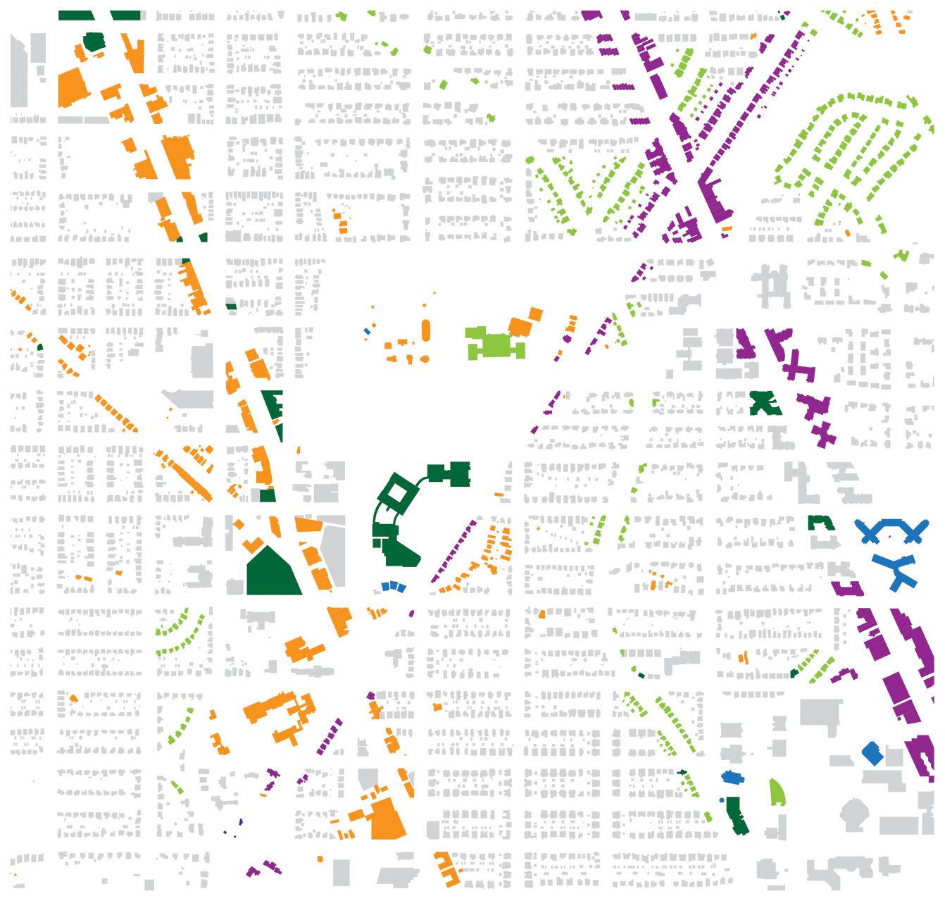
Okay, so I mentioned in the last post that neighborhoods, as conventionally defined, are not necessarily the best ways of measuring human activity, and so is the difficult concept of community. However I attempt to define such a thing, it’s going to be imprecise, subjective, and doubtful. But most people can recognize  community when they see it. Likewise, when you look a good space, you can tell because of the people there.

Last year, when I was but beginning my job as an apparatchik of the цarьchitect, I quoted Freddy N. in On The Geneology of Morals:

Only owing to the seduction of language (and the fundamental errors of reason petrified within it) which conceives all effects as conditioned by something that causes effects, by a “subject,” can it appear otherwise. For just as the popular mind separates the lighting from its flash and takes the latter for an action, for the operation of a subject called lightning, so popular morality also separates strength from expressions of strength, as if there were an neutral substratum behind the strong man, which was free to express strength or not to do so. But there is no such substratum, there is no being behind doing, effecting, becoming; “the doer” is merely the fiction added to the deed – the deed is everything.

Now, replace “strength” with “community.” Community is, in essence, an act. It is not merely your sheer propinquity to another human meatbag, nor crude ethnic similarities, it is the action to do like others, to help the person nearby, to talk to them, to smile at the man on the street when he says hello. Community, is an cooperative action between people, in the conscious and subconscious, of coming together and working for each other’s values. Why one might associate with one another, and care for them is a wholly different question. But it is relatively easy to see evidence of community, just as it is possible to see evidence of social activity.

Reno Park Update 091207: Retail

Before getting to a relatively objective judgement of where neighborhoods are centered, it’s worth drawing out where the commercial spaces are. We know that street retail is a big draw for getting people onto the streets. Whether this is materialistic or not, shops and restaurants do get people out of their homes and onto the streets if they are oriented toward sidewalks. Even when there aren’t that many people on the sidewalks or in stores, the rhythm of the buildings and the people watching from within the buildings enliven and secure neighborhoods. With the big awning signs, stores often also engage drivers and people on the far side of a street, adding another layer to the community structure. So, take a look at that here, with enlivened sidewalks in red, and other enlivened spaces in a paler shade.

street retail

It’s also a defining characteristic of an area’s architecture and culture. Looking at this area, again, you can see nodes and corridors arising from the shapes, not consistent, and lacking in almost any east-west traffic. It also reminds you that the vast majority of the area is housing only, even many of the apartment buildings.

Reno Park Update 091206: Bad Names

So neighborhoods. The issue of neighborhoods is not a small issue here at цarьchitect, so I want to explore how the nominal neighborhoods in DC, are relatively arbitrary. Whereas Cleveland Park is a coherent collection of period houses clustered around the summer home of our favorite philandering and mustachioed head of state. The same is relatively true of Chevy Chase. But other areas, such as AU Park or Tobago lack legible borders, character, nodes, or strong community sentiment. With these flaws in mind, I asked the internet where neighborhoods began and ended. For example, Wikipedia:

wiki neighborhoods

As you can see, there are some flaws to this map – some areas aren’t exactly stuck into boxes and others are claimed by two neighborhoods. Moreover, Tenleytown has, maybe, 100 residents and its borders rest, like the ANCs, along corridors where there is precisely the most activity, along Wisconsin. It also perpetuates the myth that there is a neighborhood called “Wakefield.” The name is a myth created by realtors, and you will not find anyone who actually calls it that, except perhaps some serpent or monster who wishes only to deceive you. . Clearly, it’s totally unsatisfactory. So, based on an informal poll and my own views, I’ve revised it:

formal neighborhoods